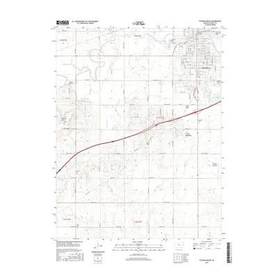
2015 Map of Ottawa South
USGS Topo · Published 2015About this map
Ottawa serves as the focal point of this Kansas survey, situated along the winding course of the Marais des Cygnes River. The town's layout is meticulously detailed, extending from the historic campus of Ottawa Univ to the industrial connectivity of B N Junction. The landscape transition south of the river is marked by the Sand Hills and a significant concentration of burial grounds, including Hope Cem, Mount Calvary Cem, and the uniquely named Chippewa Hills Muncle Cem. Local aviation is represented by the Ottawa Municipal Airport on the eastern edge of the quadrangle. The surrounding countryside is defined by a dense network of watercourses such as Mud Cr and Rock Cr, illustrating the drainage patterns that shaped early Franklin County settlement and agriculture.
Find a feature on this map
102 named features on this map. Tap any name to fly to it.
Don’t see what you’re looking for? This feature index may not catch every label — zoom into the map to look around manually.
Map Details
Editions of this 2015 Ottawa South Map
This is the sole edition of this map. No revisions or reprints were ever made.
Other maps of this area

1885 · Garnett
USGS Topo · 1:125,000

1885 · Lawrence
USGS Topo · 1:125,000

1889 · Lawrence
USGS Topo · 1:125,000

1894 · Garnett
USGS Topo · 1:125,000

1947 · Lawrence
USGS Topo · 1:250,000

1950 · Lawrence
USGS Topo · 1:250,000

1956 · Pomona
USGS Topo · 1:24,000

1956 · Ottawa North
USGS Topo · 1:24,000

1956 · Le Loup
USGS Topo · 1:24,000

1956 · Williamsburg
USGS Topo · 1:24,000