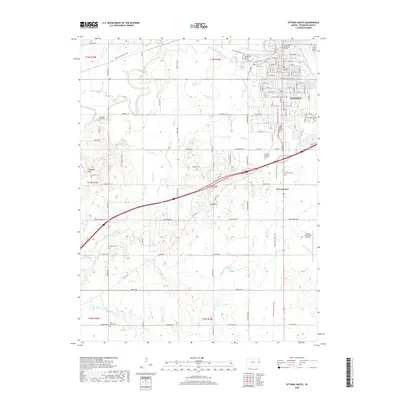
2018 Map of Ottawa South
USGS Topo · Published 2018About this map
Ottawa anchors this landscape in Franklin County, where the southern neighborhoods give way to the rural Kansas countryside. The town's grid terminates near the Marais des Cygnes River, which meanders through the northern section of the map, carving oxbows and supporting local water bodies like Capps Lake. This modern survey illustrates the conversion of historical rail infrastructure into recreational corridors, most notably the Flint Hills Nature Trail and the Prairie Spirit Rail Trail, which bisect the area and converge near B N Junction.
Find a feature on this map
74 named features on this map. Tap any name to fly to it.
Don’t see what you’re looking for? This feature index may not catch every label — zoom into the map to look around manually.
Map Details
Editions of this 2018 Ottawa South Map
This is the sole edition of this map. No revisions or reprints were ever made.
Other maps of this area

1885 · Garnett
USGS Topo · 1:125,000

1885 · Lawrence
USGS Topo · 1:125,000

1889 · Lawrence
USGS Topo · 1:125,000

1894 · Garnett
USGS Topo · 1:125,000

1947 · Lawrence
USGS Topo · 1:250,000

1950 · Lawrence
USGS Topo · 1:250,000

1956 · Pomona
USGS Topo · 1:24,000

1956 · Ottawa North
USGS Topo · 1:24,000

1956 · Le Loup
USGS Topo · 1:24,000

1956 · Williamsburg
USGS Topo · 1:24,000