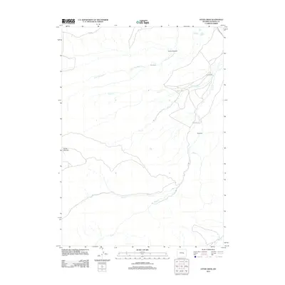
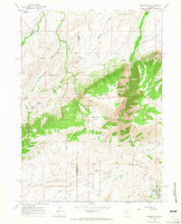
2012 Map of Otter Creek
USGS Topo · Published 2012About this map
The high-desert ranching landscape of Natrona County is defined by the drainages that feed the North Platte River system. Family-operated landholdings such as Harris Ranch and Milne Ranch anchor the local geography, situated along winding watercourses like Smith Cr and Clear Fork Muddy Cr. The terrain is shaped by significant geological formations, most notably the towering Muddy Mountain in the west and the distinct ridgeline of Hat Six Hogback to the north. These physical landmarks, along with established routes like Smith Creek Rd, trace the historic movement of livestock and settlers through this part of Wyoming. The network of streams including Otter Cr and Beaver Cr highlights the vital importance of seasonal water management in a region where elevation and aspect dictate the location of every homestead and corral.
Find a feature on this map
14 named features on this map. Tap any name to fly to it.
Don’t see what you’re looking for? This feature index may not catch every label — zoom into the map to look around manually.
Map Details
Editions of this 2012 Otter Creek Map
This is the sole edition of this map. No revisions or reprints were ever made.
Other maps of this area
1949 · Brookhurst
USGS Topo · 1:24,000
1950 · Lockett
USGS Topo · 1:24,000
1950 · Brookhurst
USGS Topo · 1:24,000
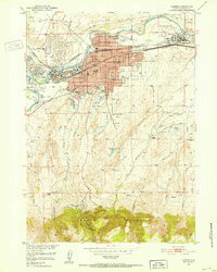
1951 · Casper
USGS Topo · 1:24,000

1955 · Casper
USGS Topo · 1:250,000

1958 · Casper
USGS Topo · 1:250,000
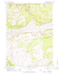
1960 · Crimson Dawn
USGS Topo · 1:24,000
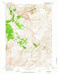
1960 · Sheep Creek
USGS Topo · 1:24,000
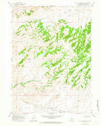
1960 · Ice Cave Mountain
USGS Topo · 1:24,000
1960 · Banner Mtn
USGS Topo · 1:24,000