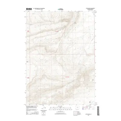
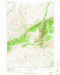
2015 Map of Otter Creek
USGS Topo · Published 2015About this map
Hat Six Hogback and Muddy Mtn dominate this high-plains landscape in Natrona County, where the topography is defined by a complex network of drainage basins. The northern reaches are shaped by the Clear Fork Muddy Cr and its tributaries, while the southern terrain transitions toward the elevations of Negro Hill. Water management in this arid environment is highlighted by the McDonald Reservoir near the northeastern boundary. Evidence of local recreation and land use is found at Deer Creek Park in the southeast, situated near the headwaters of the W Fork Deer Cr. A sparse network of rural routes, including Hat Six Rd and Smith Creek Rd, provides the primary access through this varied terrain of ridges and creek beds.
Find a feature on this map
19 named features on this map. Tap any name to fly to it.
Don’t see what you’re looking for? This feature index may not catch every label — zoom into the map to look around manually.
Map Details
Editions of this 2015 Otter Creek Map
This is the sole edition of this map. No revisions or reprints were ever made.
Other maps of this area
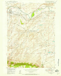
1949 · Brookhurst
USGS Topo · 1:24,000
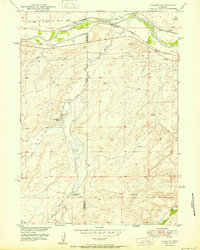
1950 · Lockett
USGS Topo · 1:24,000
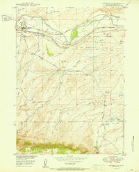
1950 · Brookhurst
USGS Topo · 1:24,000
1951 · Casper
USGS Topo · 1:24,000

1955 · Casper
USGS Topo · 1:250,000

1958 · Casper
USGS Topo · 1:250,000
1960 · Crimson Dawn
USGS Topo · 1:24,000
1960 · Sheep Creek
USGS Topo · 1:24,000
1960 · Ice Cave Mountain
USGS Topo · 1:24,000
1960 · Banner Mtn
USGS Topo · 1:24,000