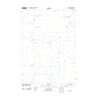
2012 Map of Ottumwa
USGS Topo · Published 2012About this map
Ottumwa and its surrounding ranchlands characterize this portion of Haakon County, where a network of ephemeral creeks and isolated outposts define the high plains landscape. The settlement pattern here is dictated by water and wide-open spaces, with family-named holdings such as Schofield Ranch, Heeb Ranch, and Hostutler Ranch anchoring the region. These sites, along with Ottumwa Lake, serve as critical points of reference in a territory where roads like Ottumwa Rd bridge long distances between neighbors.
Find a feature on this map
16 named features on this map. Tap any name to fly to it.
Don’t see what you’re looking for? This feature index may not catch every label — zoom into the map to look around manually.
Map Details
Editions of this 2012 Ottumwa Map
This is the sole edition of this map. No revisions or reprints were ever made.
Other maps of this area

1954 · Powell
USGS Topo · 1:24,000

1954 · Midland
USGS Topo · 1:24,000

1954 · Nowlin
USGS Topo · 1:24,000

1954 · Pierre
USGS Topo · 1:250,000

1958 · Pierre
USGS Topo · 1:250,000

1982 · Midland NW
USGS Topo · 1:24,000

1982 · May Ranch
USGS Topo · 1:24,000

1983 · Mule Creek
USGS Topo · 1:24,000

1983 · Philip
USGS Topo · 1:100,000

1983 · Powell NW
USGS Topo · 1:24,000