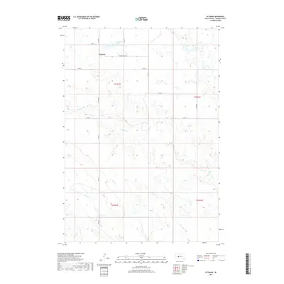
2017 Map of Ottumwa
USGS Topo · Published 2017About this map
Ottumwa occupies a high prairie landscape in Haakon County, defined by a sparse network of section-line roads and the seasonal drainage of the Missouri River plateau. The settlement is centered near Ottumwa Lake and the junction of 238th Ave and 218th St. The layout of the region is strictly governed by the Public Land Survey System, with the landscape divided into the townships of t3n r23e, t3n r24e, t2n r23e, and t2n r24e.
Find a feature on this map
21 named features on this map. Tap any name to fly to it.
Don’t see what you’re looking for? This feature index may not catch every label — zoom into the map to look around manually.
Map Details
Editions of this 2017 Ottumwa Map
This is the sole edition of this map. No revisions or reprints were ever made.
Other maps of this area
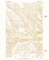
1954 · Powell
USGS Topo · 1:24,000
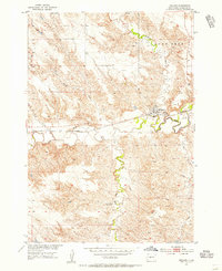
1954 · Midland
USGS Topo · 1:24,000
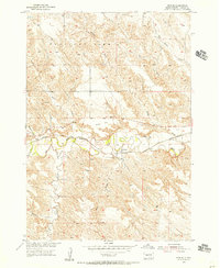
1954 · Nowlin
USGS Topo · 1:24,000
1954 · Pierre
USGS Topo · 1:250,000
1958 · Pierre
USGS Topo · 1:250,000
1982 · Midland NW
USGS Topo · 1:24,000
1982 · May Ranch
USGS Topo · 1:24,000
1983 · Mule Creek
USGS Topo · 1:24,000
1983 · Philip
USGS Topo · 1:100,000
1983 · Powell NW
USGS Topo · 1:24,000