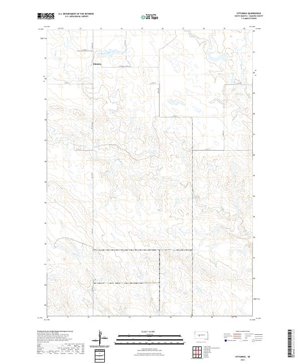
2021 Map of Ottumwa
USGS Topo · Published 2021About this map
Ottumwa serves as the focal point of this rural Haakon County landscape, situated near the northern edge of the survey area. The small settlement is connected by a grid of section-line roads, including Ottumwa School Rd and 238th Ave, which cut across the high plains of South Dakota. The geography is defined by a network of seasonal drainage systems, most notably Mule Cr and Mitchell Cr, which meander through the prairie terrain toward the southern reaches of the quadrangle. North of the main settlement lies Ottumwa Lake, a prominent water feature in an otherwise dry landscape. The map reveals the systematic organization of the Public Land Survey System, with boundaries like t3n r23e marking the transition between townships. This modern survey provides a detailed look at the rural infrastructure of the region, where isolated homesteads and ranch roads like 219th St represent the primary human imprint on the land.
Find a feature on this map
20 named features on this map. Tap any name to fly to it.
Don’t see what you’re looking for? This feature index may not catch every label — zoom into the map to look around manually.
Map Details
Editions of this 2021 Ottumwa Map
This is the sole edition of this map. No revisions or reprints were ever made.
Other maps of this area

1954 · Powell
USGS Topo · 1:24,000

1954 · Midland
USGS Topo · 1:24,000

1954 · Nowlin
USGS Topo · 1:24,000

1954 · Pierre
USGS Topo · 1:250,000

1958 · Pierre
USGS Topo · 1:250,000

1982 · Midland NW
USGS Topo · 1:24,000

1982 · May Ranch
USGS Topo · 1:24,000

1983 · Mule Creek
USGS Topo · 1:24,000

1983 · Philip
USGS Topo · 1:100,000

1983 · Powell NW
USGS Topo · 1:24,000