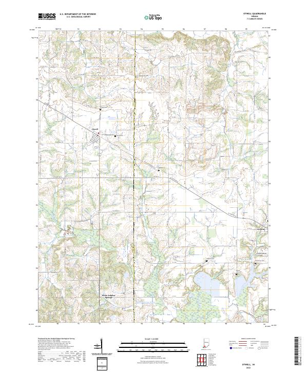
2022 Map of Otwell
USGS Topo · Published 2022About this map
Otwell serves as the primary hub in this portion of southwestern Indiana, situated at the intersection of a road network that includes Grant St and Strawberry Rd. The landscape transitions from the residential blocks of Otwell and the smaller community of Ireland into a rural expanse defined by agricultural drainage and natural watercourses. The northern reaches are drained by Bear Cr, while the southern border is defined by the winding course of the Patoka River and the lowlands of Big Bottom.
Find a feature on this map
70 named features on this map. Tap any name to fly to it.
Don’t see what you’re looking for? This feature index may not catch every label — zoom into the map to look around manually.
Map Details
Editions of this 2022 Otwell Map
This is the sole edition of this map. No revisions or reprints were ever made.
Other maps of this area

1902 · Ditney
USGS Topo · 1:125,000

1903 · Velpen
USGS Topo · 1:62,500

1944 · Glendale
USGS Topo · 1:24,000

1945 · Sandy Hook
USGS Topo · 1:24,000

1946 · Jasper
USGS Topo · 1:24,000

1954 · Huntingburg
USGS Topo · 1:24,000

1956 · Alfordsville
USGS Topo · 1:24,000

1956 · Vincennes
USGS Topo · 1:250,000

1957 · Vincennes
USGS Topo · 1:250,000

1958 · Vincennes
USGS Topo · 1:250,000