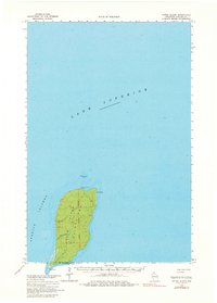
1963 Map of Outer Island
USGS Topo · Published 1980About this map
Outer Island stands as a solitary landmass surrounded by the deep waters of Lake Superior in this mid-century survey. Located at the northern reaches of the Apostle Islands, the terrain is defined by its isolation and the critical navigational aid of the Outer Island Light on its northern tip. The map documents the island's survey grid, established via the Fourth Principal Meridian, and reveals a shoreline shaped by Austad Bay and the prominent southern hook of Sand Point. This 1963 data, later photoinspected in the 1970s, captures the island before modern environmental shifts, noting treacherous underwater features like Outer Island Shoal and the specific mean lake elevation of 602 feet. For the maritime historian or local researcher, the document provides an exact look at the island's topography and soundings during a period of transition for Great Lakes navigational standards.
Find a feature on this map
8 named features on this map. Tap any name to fly to it.
Don’t see what you’re looking for? This feature index may not catch every label — zoom into the map to look around manually.
Map Details
Editions of this 1963 Outer Island Map
2 editions found
Other maps of this area

1953 · Ashland
USGS Topo · 1:250,000

1954 · Two Harbors
USGS Topo · 1:250,000

1957 · Two Harbors
USGS Topo · 1:250,000

1958 · Ashland
USGS Topo · 1:250,000

1958 · Two Harbors
USGS Topo · 1:250,000
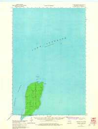
1963 · Outer Island
USGS Topo · 1:62,500

1963 · Cat Island
USGS Topo · 1:24,000

1963 · Michigan Island
USGS Topo · 1:24,000

1963 · Rocky Island
USGS Topo · 1:62,500
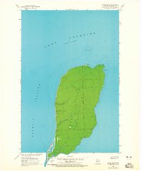
1963 · Outer Island
USGS Topo · 1:24,000