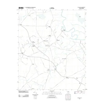
2011 Map of Outland
USGS Topo · Published 2011About this map
Great Pee Dee River and its intricate network of wetlands define this pocket of Georgetown County, where the landscape is a patchwork of named swamps and crossroads. The river winds along the eastern boundary, passing Port Hill Landing and New Ham Lake, while the interior terrain is marked by Boser Swamp, Pennyroyal Swamp, and the distinctive Squirrel Run Bay.
Find a feature on this map
91 named features on this map. Tap any name to fly to it.
Don’t see what you’re looking for? This feature index may not catch every label — zoom into the map to look around manually.
Map Details
Editions of this 2011 Outland Map
This is the sole edition of this map. No revisions or reprints were ever made.
Other maps of this area

1943 · Yauhannah
USGS Topo · 1:24,000

1943 · Henry
USGS Topo · 1:24,000

1943 · Carvers Bay
USGS Topo · 1:24,000

1943 · Plantersville
USGS Topo · 1:24,000

1943 · Dongola
USGS Topo · 1:24,000

1943 · Rhems
USGS Topo · 1:24,000

1943 · Outland
USGS Topo · 1:24,000

1944 · Outland
USGS Topo · 1:31,680

1946 · Johnsonville
USGS Topo · 1:62,500

1949 · Georgetown
USGS Topo · 1:250,000