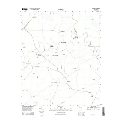
2014 Map of Outland
USGS Topo · Published 2014About this map
Center Crossroads and a dense network of similar intersections define this pocket of the Lowcountry, where the Georgetown County and Marion County line follows the winding course of the Great Pee Dee River. The landscape is characterized by its hydrologic complexity, featuring expansive wetlands like Boser Swamp, Pennyroyal Swamp, and Soccee Swamp. These blackwater systems are interspersed with distinct landforms such as Britton Neck and Squirrel Run Bay, while family-named landmarks like Williams Hill and Sand Ridge rise above the alluvial plains.
Find a feature on this map
94 named features on this map. Tap any name to fly to it.
Don’t see what you’re looking for? This feature index may not catch every label — zoom into the map to look around manually.
Map Details
Editions of this 2014 Outland Map
This is the sole edition of this map. No revisions or reprints were ever made.
Other maps of this area

1943 · Yauhannah
USGS Topo · 1:24,000

1943 · Henry
USGS Topo · 1:24,000

1943 · Carvers Bay
USGS Topo · 1:24,000

1943 · Plantersville
USGS Topo · 1:24,000

1943 · Dongola
USGS Topo · 1:24,000

1943 · Rhems
USGS Topo · 1:24,000

1943 · Outland
USGS Topo · 1:24,000

1944 · Outland
USGS Topo · 1:31,680

1946 · Johnsonville
USGS Topo · 1:62,500

1949 · Georgetown
USGS Topo · 1:250,000