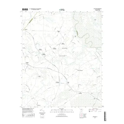
2017 Map of Outland
USGS Topo · Published 2017About this map
Great Pee Dee River winding through the eastern wetlands of Georgetown and Marion counties characterizes this coastal plain landscape. The terrain is defined by a dense network of water bodies and low-lying reaches, including Pennyroyal Swamp, Bells Swamp, and Boser Swamp. Settlement patterns here are tied to the higher ground of various hills and the intersection of rural roads, creating a cluster of localized communities such as Outland, Port Hill, and Williams Hill. The numerous crossroads, from Center Crossroads to Cribb Crossroads, suggest a historic reliance on overland travel between these small agricultural and riverine outposts. Genealogists may find value in the location of Jerusalem Cem near the Williamsburg County line or Hucks Field Cem in the southeastern quadrant near Tupelo Bay.
Find a feature on this map
104 named features on this map. Tap any name to fly to it.
Don’t see what you’re looking for? This feature index may not catch every label — zoom into the map to look around manually.
Map Details
Editions of this 2017 Outland Map
This is the sole edition of this map. No revisions or reprints were ever made.
Other maps of this area

1943 · Yauhannah
USGS Topo · 1:24,000

1943 · Henry
USGS Topo · 1:24,000

1943 · Carvers Bay
USGS Topo · 1:24,000

1943 · Plantersville
USGS Topo · 1:24,000

1943 · Dongola
USGS Topo · 1:24,000

1943 · Rhems
USGS Topo · 1:24,000

1943 · Outland
USGS Topo · 1:24,000

1944 · Outland
USGS Topo · 1:31,680

1946 · Johnsonville
USGS Topo · 1:62,500

1949 · Georgetown
USGS Topo · 1:250,000