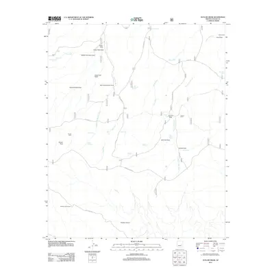
2011 Map of Outlaw Draw
USGS Topo · Published 2011About this map
Buckskin Lookout Tower stands as a prominent sentinel over this high-country landscape in Navajo County, where a network of forest roads and trails navigates a complex system of draws and ridges. The terrain is defined by the legacy of ranching and seasonal water management, with named sites such as Bunger Ranch, Holcomb Ranch, and Blevins Ranch scattered throughout the territory. This 2011 survey reveals an intricate infrastructure of livestock tanks and natural water sources, including Outlaw Seep, Whiskey Spring, and Hidden Spring, which were vital for sustaining local operations in an arid climate.
Find a feature on this map
46 named features on this map. Tap any name to fly to it.
Don’t see what you’re looking for? This feature index may not catch every label — zoom into the map to look around manually.
Map Details
Editions of this 2011 Outlaw Draw Map
This is the sole edition of this map. No revisions or reprints were ever made.
Other maps of this area
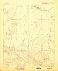
1886 · Holbrook
USGS Topo · 1:250,000
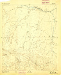
1893 · Holbrook
USGS Topo · 1:250,000
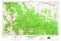
1954 · Holbrook
USGS Topo · 1:250,000
1957 · Holbrook
USGS Topo · 1:250,000
1958 · Holbrook
USGS Topo · 1:250,000
1960 · Holbrook
USGS Topo · 1:250,000
1961 · Clay Springs
USGS Topo · 1:62,500
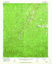
1961 · Heber
USGS Topo · 1:62,500
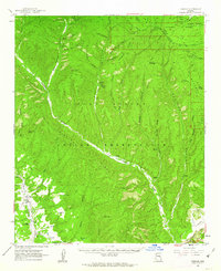
1961 · Cibecue
USGS Topo · 1:62,500
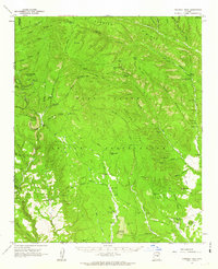
1961 · Chediski Peak
USGS Topo · 1:62,500