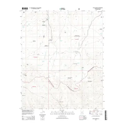
2014 Map of Outlaw Draw
USGS Topo · Published 2014About this map
The Mogollon Rim dominates this high-altitude landscape in Navajo County, where the sharp descent into Buckskin Canyon marks the edge of the Mogollon Plateau. Situated within the Sitgreaves National Forest, the terrain is defined by an intricate network of drainage systems including Outlaw Draw, Baldwin Draw, and Pierce Wash. This 2014 survey records a remote backcountry utilized primarily for grazing and forestry, evidenced by numerous named stock tanks such as Salt Tank, Hess Tank, and Brahma Tank. Transportation follows long-established routes across the plateau, including the historic Old Verde Rd and Mogollon Rim Rd. Important water sources for the area, such as Whiskey Spring, Hidden Spring, and the Outlaw Seep, remain vital landmarks in this arid high-country environment.
Find a feature on this map
53 named features on this map. Tap any name to fly to it.
Don’t see what you’re looking for? This feature index may not catch every label — zoom into the map to look around manually.
Map Details
Editions of this 2014 Outlaw Draw Map
This is the sole edition of this map. No revisions or reprints were ever made.
Other maps of this area
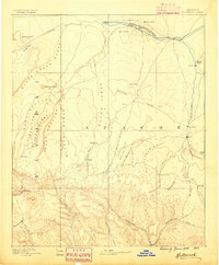
1886 · Holbrook
USGS Topo · 1:250,000
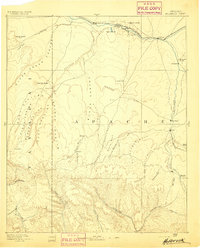
1893 · Holbrook
USGS Topo · 1:250,000
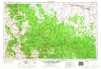
1954 · Holbrook
USGS Topo · 1:250,000
1957 · Holbrook
USGS Topo · 1:250,000
1958 · Holbrook
USGS Topo · 1:250,000
1960 · Holbrook
USGS Topo · 1:250,000
1961 · Clay Springs
USGS Topo · 1:62,500
1961 · Heber
USGS Topo · 1:62,500
1961 · Cibecue
USGS Topo · 1:62,500
1961 · Chediski Peak
USGS Topo · 1:62,500