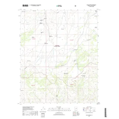
2018 Map of Outlaw Draw
USGS Topo · Published 2018About this map
Sitgreaves National Forest encompasses this high-elevation landscape, where the dramatic northern drop-off of the Mogollon Rim meets the Mogollon Plateau. The area is defined by a complex network of seasonal drainage channels, including Potato Patch Draw, Buckskin Wash, and Hess Draw. A network of livestock infrastructure is evident through numerous tanks such as Brahma Tank, Lower Hess Tank, and Middle Tank, which support grazing across the varied terrain of Camp Knoll Ridge and Stermer Ridge.
Find a feature on this map
53 named features on this map. Tap any name to fly to it.
Don’t see what you’re looking for? This feature index may not catch every label — zoom into the map to look around manually.
Map Details
Editions of this 2018 Outlaw Draw Map
This is the sole edition of this map. No revisions or reprints were ever made.
Other maps of this area
1886 · Holbrook
USGS Topo · 1:250,000
1893 · Holbrook
USGS Topo · 1:250,000
1954 · Holbrook
USGS Topo · 1:250,000
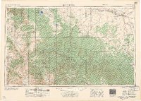
1957 · Holbrook
USGS Topo · 1:250,000
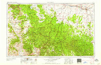
1958 · Holbrook
USGS Topo · 1:250,000
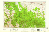
1960 · Holbrook
USGS Topo · 1:250,000
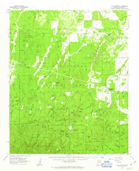
1961 · Clay Springs
USGS Topo · 1:62,500
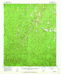
1961 · Heber
USGS Topo · 1:62,500
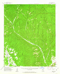
1961 · Cibecue
USGS Topo · 1:62,500
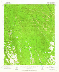
1961 · Chediski Peak
USGS Topo · 1:62,500