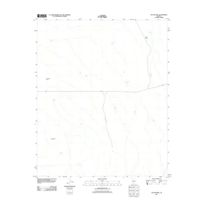
2011 Map of Outlaw Hill
USGS Topo · Published 2011About this map
Aguila Valley dominates this arid landscape in Maricopa County, characterized by a complex network of ephemeral drainages and livestock infrastructure. The importance of water management in this desert environment is evident through the high density of named tanks, such as Railroad Tank, Six-shooter Tank, and Wild Horse Tank. These features suggest a history of ranching and resource utilization across the open range. In the western portion of the quadrangle, Forepaugh Airport sits near the primary highway corridor, providing a modern contrast to the surrounding terrain. To the south, Outlaw Hill and the nearby Outlaw Tank provide vertical relief in an otherwise broad basin. The presence of Effus Ranch Rd and various unnamed tracks indicate the persistent utility of the land for cattle operations and regional transit through the valley.
Find a feature on this map
17 named features on this map. Tap any name to fly to it.
Don’t see what you’re looking for? This feature index may not catch every label — zoom into the map to look around manually.
Map Details
Editions of this 2011 Outlaw Hill Map
This is the sole edition of this map. No revisions or reprints were ever made.
Other maps of this area
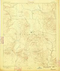
1887 · Prescott
USGS Topo · 1:250,000
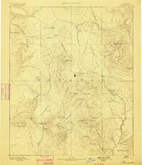
1892 · Prescott
USGS Topo · 1:250,000
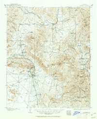
1903 · Congress
USGS Topo · 1:125,000
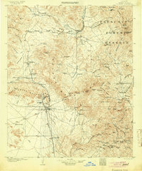
1904 · Congress
USGS Topo · 1:125,000
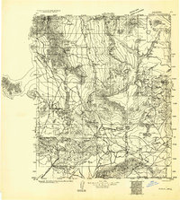
1923 · Signal
USGS Topo · 1:250,000
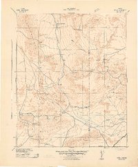
1942 · Signal
USGS Topo · 1:250,000
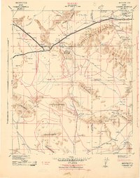
1942 · Vicksburg
USGS Topo · 1:250,000
1950 · Prescott
USGS Topo · 1:250,000
1954 · Prescott
USGS Topo · 1:250,000
1954 · Phoenix
USGS Topo · 1:250,000