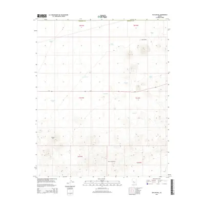
2014 Map of Outlaw Hill
USGS Topo · Published 2014About this map
Aguila Valley and the northern reaches of the Vulture Mountains characterize this high-desert landscape in Maricopa County. The terrain is marked by a complex network of ephemeral water sources, essential for survival in this arid environment, ranging from the evocatively named Six-shooter Tank to the Wild Horse Tank. These features suggest a history of cattle ranching and localized mining, where every drainage like Quinine Wash and every catch basin served as a vital anchor for activity. Us-60 serves as the primary artery through the center of the sheet, cutting a path between the foothills near Outlaw Hill and the broader valley floor. The map provides a detailed view of the cadastral grid, showing the townships and ranges that organized this territory, including t7n r7w and t7n r6w.
Find a feature on this map
22 named features on this map. Tap any name to fly to it.
Don’t see what you’re looking for? This feature index may not catch every label — zoom into the map to look around manually.
Map Details
Editions of this 2014 Outlaw Hill Map
This is the sole edition of this map. No revisions or reprints were ever made.
Other maps of this area
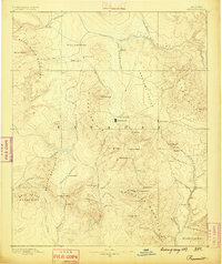
1887 · Prescott
USGS Topo · 1:250,000
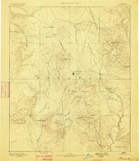
1892 · Prescott
USGS Topo · 1:250,000
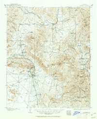
1903 · Congress
USGS Topo · 1:125,000
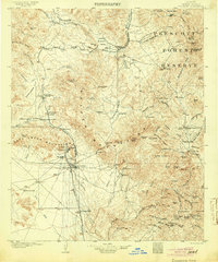
1904 · Congress
USGS Topo · 1:125,000
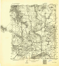
1923 · Signal
USGS Topo · 1:250,000
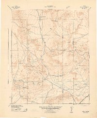
1942 · Signal
USGS Topo · 1:250,000
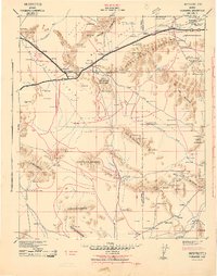
1942 · Vicksburg
USGS Topo · 1:250,000
1950 · Prescott
USGS Topo · 1:250,000
1954 · Prescott
USGS Topo · 1:250,000
1954 · Phoenix
USGS Topo · 1:250,000