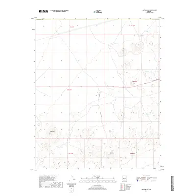
2018 Map of Outlaw Hill
USGS Topo · Published 2018About this map
The Vulture Mountains rise sharply in the southern reaches of this Maricopa County landscape, creating a stark contrast to the wide desert floor of the Aguila Valley to the north. Water management in this arid environment is documented through several named catchments, including Outlaw Tank, Twin Joe Tank, and Divide Tank, which serve as vital resources for local ranching operations. The terrain is centered on Outlaw Hill, a prominent landmark that overlooks the intersection of modern ranching access roads and historical travel corridors. The road network, including Effus Ranch Rd and W Wickenburg Way, illustrates the ongoing connection between these remote desert uplands and the broader regional infrastructure of central Arizona.
Find a feature on this map
17 named features on this map. Tap any name to fly to it.
Don’t see what you’re looking for? This feature index may not catch every label — zoom into the map to look around manually.
Map Details
Editions of this 2018 Outlaw Hill Map
This is the sole edition of this map. No revisions or reprints were ever made.
Other maps of this area
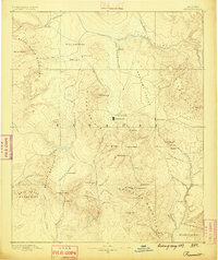
1887 · Prescott
USGS Topo · 1:250,000
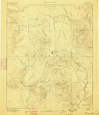
1892 · Prescott
USGS Topo · 1:250,000
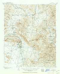
1903 · Congress
USGS Topo · 1:125,000
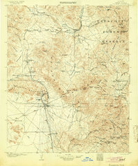
1904 · Congress
USGS Topo · 1:125,000
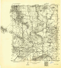
1923 · Signal
USGS Topo · 1:250,000
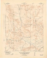
1942 · Signal
USGS Topo · 1:250,000
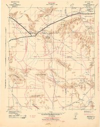
1942 · Vicksburg
USGS Topo · 1:250,000
1950 · Prescott
USGS Topo · 1:250,000
1954 · Prescott
USGS Topo · 1:250,000
1954 · Phoenix
USGS Topo · 1:250,000