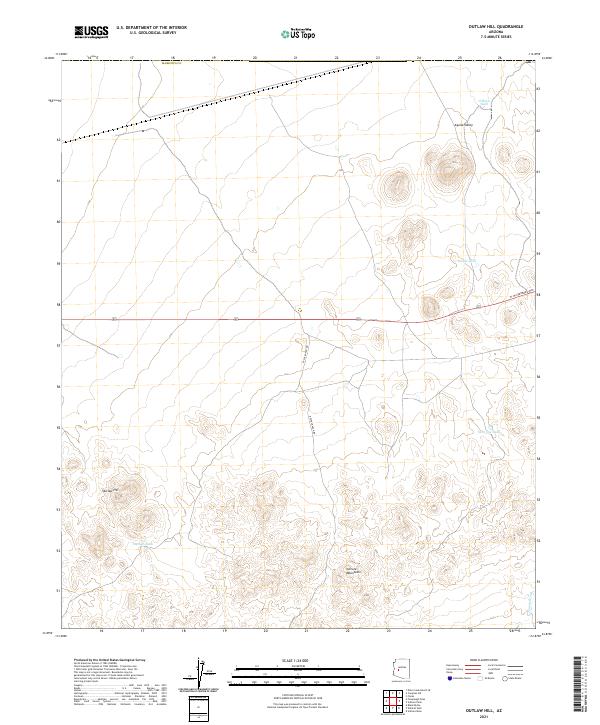
2021 Map of Outlaw Hill
USGS Topo · Published 2021About this map
The Vulture Mountains rise prominently in the southern portion of this region, creating a distinctive topographic break from the broad Aguila Valley to the north. This arid landscape is defined by its water management systems, where named features like O'Haco Tank, Divide Tank, and Twin Joe Tank mark critical points for livestock or local water needs in an otherwise dry environment. The topography is anchored by Outlaw Hill, which sits near the namesake Outlaw Tank at the edge of more complex terrain.
Find a feature on this map
18 named features on this map. Tap any name to fly to it.
Don’t see what you’re looking for? This feature index may not catch every label — zoom into the map to look around manually.
Map Details
Editions of this 2021 Outlaw Hill Map
This is the sole edition of this map. No revisions or reprints were ever made.
Other maps of this area

1887 · Prescott
USGS Topo · 1:250,000

1892 · Prescott
USGS Topo · 1:250,000

1903 · Congress
USGS Topo · 1:125,000

1904 · Congress
USGS Topo · 1:125,000

1923 · Signal
USGS Topo · 1:250,000

1942 · Signal
USGS Topo · 1:250,000

1942 · Vicksburg
USGS Topo · 1:250,000

1950 · Prescott
USGS Topo · 1:250,000

1954 · Prescott
USGS Topo · 1:250,000

1954 · Phoenix
USGS Topo · 1:250,000