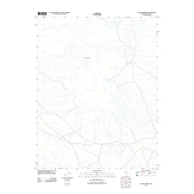
2012 Map of Outlaw Springs
USGS Topo · Published 2012About this map
Outlaw Springs sits at the heart of this high-desert landscape in the Cedar Mountains of the Nevada-Esmeralda region. The terrain is defined by a dense network of intermittent drainage channels that carve through the arid slopes, illustrating the complex hydrology typical of the Great Basin. A few local roads and 4WD tracks trace the contours of the mountain range, providing access to the spring and the surrounding backcountry. This 2012 survey by the U.S. Geological Survey details the sparse infrastructure of this isolated territory, where natural water sources like the namesake springs dictate the movement and history of the land.
Find a feature on this map
2 named features on this map. Tap any name to fly to it.
Don’t see what you’re looking for? This feature index may not catch every label — zoom into the map to look around manually.
Map Details
Editions of this 2012 Outlaw Springs Map
This is the sole edition of this map. No revisions or reprints were ever made.
Other maps of this area

1907 · Tonopah
USGS Topo · 1:250,000

1908 · Tonopah
USGS Topo · 1:250,000

1956 · Tonopah
USGS Topo · 1:250,000

1959 · Tonopah
USGS Topo · 1:250,000

1962 · Tonopah
USGS Topo · 1:250,000
1968 · Crow Springs
USGS Topo · 1:24,000
1968 · Coaldale NE
USGS Topo · 1:24,000
1968 · Gilbert
USGS Topo · 1:24,000
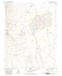
1980 · Kibby Flat
USGS Topo · 1:24,000
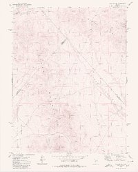
1980 · Cole Spring
USGS Topo · 1:24,000