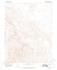
1968 Map of Coaldale NE
USGS Topo · Published 1970About this map
The Monte Cristo Range dominates this late-1960s survey of Esmeralda County, revealing a landscape defined by high-altitude mining exploration and intermittent water sources. Topographic data captured in 1965 shows a network of resource extraction points, including several Mines and numerous Prospects scattered throughout the complex terrain. The presence of a Jeep Trail cutting across the southern portion of the sheet highlights the transition from early pack trails to motorized access for geological surveying and mineral assessment.
Find a feature on this map
8 named features on this map. Tap any name to fly to it.
Don’t see what you’re looking for? This feature index may not catch every label — zoom into the map to look around manually.
Map Details
Editions of this 1968 Coaldale NE Map
This is the sole edition of this map. No revisions or reprints were ever made.
Other maps of this area

1907 · Tonopah
USGS Topo · 1:250,000

1908 · Tonopah
USGS Topo · 1:250,000

1956 · Tonopah
USGS Topo · 1:250,000

1959 · Tonopah
USGS Topo · 1:250,000

1962 · Tonopah
USGS Topo · 1:250,000
1968 · Rock Hill
USGS Topo · 1:24,000
1968 · Coaldale
USGS Topo · 1:24,000
1968 · Blair Junction
USGS Topo · 1:24,000
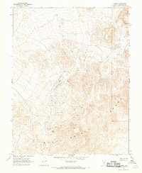
1968 · Gilbert
USGS Topo · 1:24,000
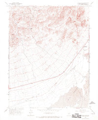
1968 · Devils Gate
USGS Topo · 1:24,000