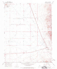
1968 Map of Coaldale
USGS Topo · Published 1970About this map
Columbus Salt Marsh (Alkali Flat) dominates the central desert floor of this Esmeralda County landscape, illustrating a classic Great Basin terminal basin. At the northern edge, the remnants of mining-era infrastructure are visible near Candelaria, where Ore Treatment Tanks and a Water Tank stand as physical evidence of the silver and gold extraction that once defined the region. The map captures a moment in the late 1960s when transportation relied on a network of Jeep Trails and the modern crossroads of Coaldale Junction, while an Old Railroad Grade hints at the area's earlier industrial peak.
Find a feature on this map
18 named features on this map. Tap any name to fly to it.
Don’t see what you’re looking for? This feature index may not catch every label — zoom into the map to look around manually.
Map Details
Editions of this 1968 Coaldale Map
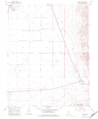
2 editions found
Other maps of this area

1898 · Silver Peak
USGS Topo · 1:125,000

1900 · Silver Peak
USGS Topo · 1:125,000

1907 · Tonopah
USGS Topo · 1:250,000

1908 · Lida
USGS Topo · 1:250,000

1908 · Tonopah
USGS Topo · 1:250,000

1909 · Hawthorne
USGS Topo · 1:250,000

1911 · Hawthorne
USGS Topo · 1:250,000

1913 · Lida
USGS Topo · 1:250,000

1915 · Hawthorne
USGS Topo · 1:250,000

1917 · White Mountain
USGS Topo · 1:125,000