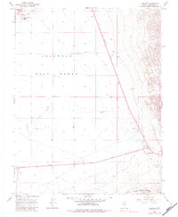
1968 Map of Coaldale
USGS Topo · Published 1983About this map
The vast expanse of the Columbus Salt Marsh (Alkali Flat) dominates this high-desert landscape in the late 1960s, a stark white basin framed by the Candelaria Hills and the Silver Peak Range. Human activity in this arid corridor is concentrated along the highway crossroads of Coaldale Junction and the small settlement of Coaldale, which served as critical transit points between Tonopah and Mina. The map documents a transition from mining era infrastructure to mid-century aviation and transit, evidenced by the presence of an Old Railroad Grade running parallel to modern roads and both a Landing Field and Landing Strip situated near the town. Industrial relics like Ore Treatment Tanks and various Prospects speak to the region's mineral extraction history, while a network of Jeep Trails and a literal Aqueduct trace the difficult task of managing resources and movement across the Nevada desert.
Find a feature on this map
28 named features on this map. Tap any name to fly to it.
Don’t see what you’re looking for? This feature index may not catch every label — zoom into the map to look around manually.
Map Details
Editions of this 1968 Coaldale Map
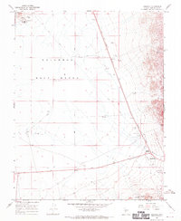
2 editions found
Other maps of this area

1898 · Silver Peak
USGS Topo · 1:125,000

1900 · Silver Peak
USGS Topo · 1:125,000

1907 · Tonopah
USGS Topo · 1:250,000

1908 · Lida
USGS Topo · 1:250,000

1908 · Tonopah
USGS Topo · 1:250,000

1909 · Hawthorne
USGS Topo · 1:250,000

1911 · Hawthorne
USGS Topo · 1:250,000

1913 · Lida
USGS Topo · 1:250,000

1915 · Hawthorne
USGS Topo · 1:250,000

1917 · White Mountain
USGS Topo · 1:125,000