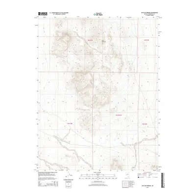
2014 Map of Outlaw Springs
USGS Topo · Published 2014About this map
Outlaw Springs is the focal point of this arid desert landscape in Esmeralda County. The terrain is dominated by the steep, rising ridges of the Cedar Mountains, which cut diagonally across the northern half of the survey. Unlike more populated regions, this high-altitude desert environment is defined by its isolation and the critical presence of rare water sources in a dry climate. The Public Land Survey System grid, including t6n r38e and t5n r38e, provides a framework for understanding land division in this sparsely settled part of Nevada. The network of unimproved roads and 4WD tracks suggests a landscape primarily accessed for mining, ranching, or exploration rather than permanent habitation.
Find a feature on this map
7 named features on this map. Tap any name to fly to it.
Don’t see what you’re looking for? This feature index may not catch every label — zoom into the map to look around manually.
Map Details
Editions of this 2014 Outlaw Springs Map
This is the sole edition of this map. No revisions or reprints were ever made.
Other maps of this area

1907 · Tonopah
USGS Topo · 1:250,000

1908 · Tonopah
USGS Topo · 1:250,000

1956 · Tonopah
USGS Topo · 1:250,000

1959 · Tonopah
USGS Topo · 1:250,000

1962 · Tonopah
USGS Topo · 1:250,000
1968 · Crow Springs
USGS Topo · 1:24,000
1968 · Coaldale NE
USGS Topo · 1:24,000
1968 · Gilbert
USGS Topo · 1:24,000
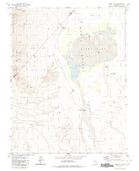
1980 · Kibby Flat
USGS Topo · 1:24,000
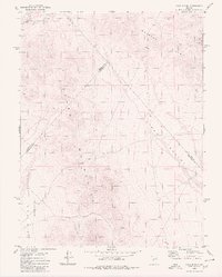
1980 · Cole Spring
USGS Topo · 1:24,000