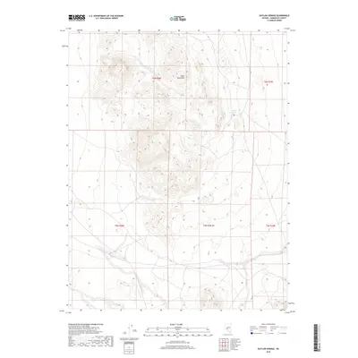
2018 Map of Outlaw Springs
USGS Topo · Published 2018About this map
Cedar Mountains dominate the landscape of this high-desert region in Nevada, characterized by complex topographic contours and high elevations. This survey centers on a rugged upland where the eponymous Outlaw Springs provides a critical water source in an otherwise arid environment. The map details the Public Land Survey System divisions, including t6n r38e, t6n r39e, and t5n r38.5e, illustrating how the territory was historically partitioned for management. The terrain is marked by a network of unimproved roads and trails that traverse the base of the mountains, tracing a remote geography where human infrastructure is sparse and tied directly to the natural hydrology and topography of the Great Basin.
Find a feature on this map
7 named features on this map. Tap any name to fly to it.
Don’t see what you’re looking for? This feature index may not catch every label — zoom into the map to look around manually.
Map Details
Editions of this 2018 Outlaw Springs Map
This is the sole edition of this map. No revisions or reprints were ever made.
Other maps of this area

1907 · Tonopah
USGS Topo · 1:250,000

1908 · Tonopah
USGS Topo · 1:250,000

1956 · Tonopah
USGS Topo · 1:250,000

1959 · Tonopah
USGS Topo · 1:250,000

1962 · Tonopah
USGS Topo · 1:250,000
1968 · Crow Springs
USGS Topo · 1:24,000
1968 · Coaldale NE
USGS Topo · 1:24,000
1968 · Gilbert
USGS Topo · 1:24,000
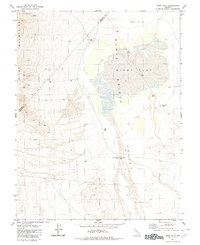
1980 · Kibby Flat
USGS Topo · 1:24,000
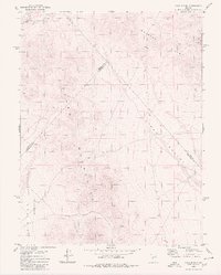
1980 · Cole Spring
USGS Topo · 1:24,000