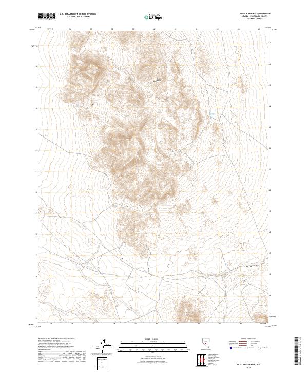
2021 Map of Outlaw Springs
USGS Topo · Published 2021About this map
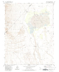
Cedar Mountains dominate the landscape of this Esmeralda County high-desert terrain. This survey reflects the remote character of the Great Basin, where topographic lines reveal steep slopes and significant elevation changes across the range. The primary water source, Outlaw Springs, is situated on the eastern flank of the mountains, a critical landmark in an otherwise arid environment. The map captures the complex township and range system common in Nevada's federal lands, including portions of t6n r38e and t5n r39e. Researchers of Western history will find the placement of historic water sources and mountain terrain useful for understanding the movement of people and livestock through this unpopulated corridor.
Find a feature on this map
7 named features on this map. Tap any name to fly to it.
Don’t see what you’re looking for? This feature index may not catch every label — zoom into the map to look around manually.
Map Details
Editions of this 2021 Outlaw Springs Map
This is the sole edition of this map. No revisions or reprints were ever made.
Other maps of this area

1907 · Tonopah
USGS Topo · 1:250,000

1908 · Tonopah
USGS Topo · 1:250,000

1956 · Tonopah
USGS Topo · 1:250,000

1959 · Tonopah
USGS Topo · 1:250,000

1962 · Tonopah
USGS Topo · 1:250,000
1968 · Crow Springs
USGS Topo · 1:24,000
1968 · Coaldale NE
USGS Topo · 1:24,000
1968 · Gilbert
USGS Topo · 1:24,000
1980 · Kibby Flat
USGS Topo · 1:24,000

1980 · Cole Spring
USGS Topo · 1:24,000