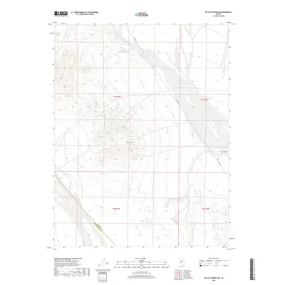
2018 Map of Outlaw Springs NE
USGS Topo · Published 2018About this map
Royston Hills dominates the central landscape of this desert terrain, where topographic elevations shift across the Ione Valley. The mapping of this high-desert region reveals a complex network of seasonal drainage, most notably the braided course of Ione Wash as it travels through the valley floor. Human passage is defined by the long, straight trajectory of Poleline Rd, a utilitarian corridor that cuts across the basin and range province. Located along the administrative boundary between Nye Co and Esmeralda Co, the sheet provides a detailed look at the public land survey system grid, including township markers for T7N and T6N across ranges R39E and R40E. This 2018 survey captures the intersection of natural alluvial features and the enduring infrastructure of Nevada’s Great Basin.
Find a feature on this map
9 named features on this map. Tap any name to fly to it.
Don’t see what you’re looking for? This feature index may not catch every label — zoom into the map to look around manually.
Map Details
Editions of this 2018 Outlaw Springs NE Map
This is the sole edition of this map. No revisions or reprints were ever made.
Other maps of this area

1907 · Tonopah
USGS Topo · 1:250,000

1908 · Tonopah
USGS Topo · 1:250,000

1956 · Tonopah
USGS Topo · 1:250,000

1959 · Tonopah
USGS Topo · 1:250,000

1962 · Tonopah
USGS Topo · 1:250,000
1964 · San Antonio Ranch
USGS Topo · 1:62,500
1980 · Cole Spring
USGS Topo · 1:24,000
1980 · Cloverdale Ranch
USGS Topo · 1:24,000
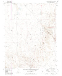
1980 · Outlaw Springs SE
USGS Topo · 1:24,000
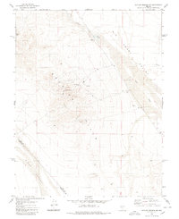
1980 · Outlaw Springs NE
USGS Topo · 1:24,000