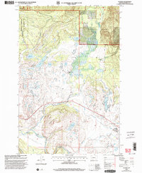
2024 Map of Ovando
USGS Topo · Published 2024About this map
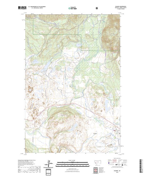
Ovando sits at the heart of this landscape, serving as a hub where Main Street and Pine Street anchor a small grid of settlement north of the Blackfoot River. The surrounding terrain is a complex drainage basin defined by Monture Creek and its many tributaries, such as Dick Creek and Hoyt Creek, which carve through a mix of timberland and valley bottom. Extensive natural and managed lands are evident, including portions of the Lolo National Forest and the Powell County Waterfowl Production Area, highlighting the region's importance for conservation. The map details a sophisticated network of irrigation and water management, featuring the Barbour Ditch and Dunham Creek Ditch, alongside multiple reservoirs like Lynn Reservoir. Higher elevations such as the Little Red Hills and Monture Hill provide natural boundaries to the wet meadows and lakes, including Upsata Lake and Mud Lake, which dot the valley floor.
Find a feature on this map
59 named features on this map. Tap any name to fly to it.
Don’t see what you’re looking for? This feature index may not catch every label — zoom into the map to look around manually.
Map Details
Editions of this 2024 Ovando Map
This is the sole edition of this map. No revisions or reprints were ever made.
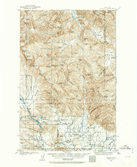
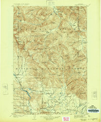
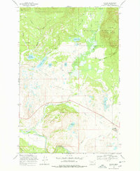
Historical Maps of Ovando Through Time
5 maps found