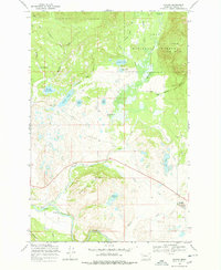
1968 Map of Ovando
USGS Topo · Published 1978About this map
Ovando serves as the primary focal point of this late-1960s survey, situated where the Blackfoot River valley meets the foothills of the Lolo National Forest. The landscape is a complex network of glacial kettle lakes and drainages, including Opsata Lake, James Lake, and Lahrity Lake, which dot the valley floor below the prominent Monture Hills. The presence of the Barbour Ditch and several reservoirs like Bandy Reservoir illustrates the area's historical reliance on water management for ranching operations such as the Monture-Hereford Ranch. Transportation and communication infrastructure are represented by the Scotty Brown Bridge and a Lookout Tower atop the hills, while the Gaging Sta 3917 along the river highlights the importance of hydrological monitoring in this watershed. The map captures a transition between the open valley ranchlands and the timbered slopes of the Red Hills.
Find a feature on this map
34 named features on this map. Tap any name to fly to it.
Don’t see what you’re looking for? This feature index may not catch every label — zoom into the map to look around manually.
Map Details
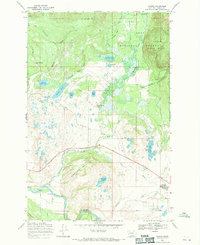
Editions of this 1968 Ovando Map
2 editions found
Other maps of this area

1902 · Ovando
USGS Topo · 1:125,000

1905 · Ovando
USGS Topo · 1:125,000

1919 · Drummond
USGS Topo · 1:125,000

1921 · Drummond
USGS Topo · 1:125,000

1947 · Butte
USGS Topo · 1:250,000

1955 · Choteau
USGS Topo · 1:250,000

1957 · Choteau
USGS Topo · 1:250,000

1958 · Butte
USGS Topo · 1:250,000

1958 · Choteau
USGS Topo · 1:250,000

1960 · Butte
USGS Topo · 1:250,000