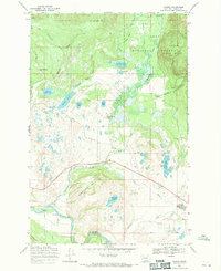
1968 Map of Ovando
USGS Topo · Published 1971About this map
Ovando serves as the focal point of this survey, situated just north of the Blackfoot River in a landscape defined by an intricate network of glacial lakes and mountain drainages. The area is characterized by significant ranching operations, including the Two Creek Ranch and the Monture Hereford Ranch, which occupy the valley floors between the Red Hills and Monture Hill. Water management and recreational access are prominent, evidenced by the Bandy Reservoir, Lynn Reservoir, and the Monture Creek Campground near the northern boundary.
Find a feature on this map
34 named features on this map. Tap any name to fly to it.
Don’t see what you’re looking for? This feature index may not catch every label — zoom into the map to look around manually.
Map Details
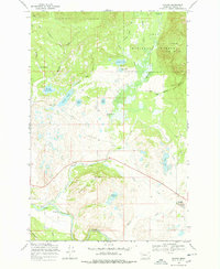
Editions of this 1968 Ovando Map
2 editions found
Other maps of this area

1902 · Ovando
USGS Topo · 1:125,000

1905 · Ovando
USGS Topo · 1:125,000
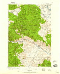
1919 · Drummond
USGS Topo · 1:125,000
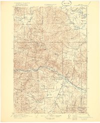
1921 · Drummond
USGS Topo · 1:125,000

1947 · Butte
USGS Topo · 1:250,000

1955 · Choteau
USGS Topo · 1:250,000

1957 · Choteau
USGS Topo · 1:250,000

1958 · Butte
USGS Topo · 1:250,000

1958 · Choteau
USGS Topo · 1:250,000

1960 · Butte
USGS Topo · 1:250,000