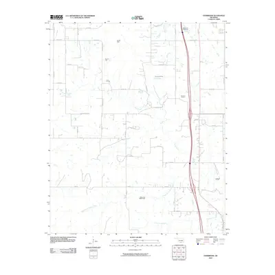
2009 Map of Overbrook
USGS Topo · Published 2009About this map
The Criner Hills rise above a landscape defined by ranching and petroleum extraction in this 2009 survey of Love County. The industrial footprint of the region is evident in the Brock Oil Field, Overbrook Oil Field, and Greenville Oil Field, which are interspersed with agricultural operations like Gores Angus Farms. Water management is a visible priority here, seen in the presence of Oknoname 01903 Dam and Oknoname 085004 Dam, which regulate the local drainage into the Hickory Creek system.
Find a feature on this map
44 named features on this map. Tap any name to fly to it.
Don’t see what you’re looking for? This feature index may not catch every label — zoom into the map to look around manually.
Map Details
Editions of this 2009 Overbrook Map
This is the sole edition of this map. No revisions or reprints were ever made.
Other maps of this area

1901 · Ardmore
USGS Topo · 1:125,000

1902 · Gainesville
USGS Topo · 1:125,000

1918 · Ardmore
USGS Topo · 1:125,000

1943 · Gainesville
USGS Topo · 1:125,000

1954 · Sherman
USGS Topo · 1:250,000

1957 · Ardmore
USGS Topo · 1:250,000

1958 · Sherman
USGS Topo · 1:250,000

1963 · Ardmore
USGS Topo · 1:250,000

1964 · Lake Murray
USGS Topo · 1:24,000

1964 · Ardmore East
USGS Topo · 1:24,000