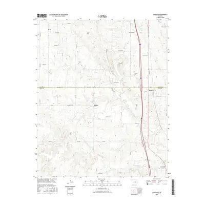
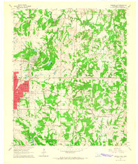
2016 Map of Overbrook
USGS Topo · Published 2016About this map
Marsden and Overbrook sit at the center of this rural southern Oklahoma landscape, where the rolling elevations of the Criner Hills descend toward the drainage basins of Hickory Cr and its various branches. The 2016 survey illustrates a classic ranching and agricultural region straddling the border of Carter and Love Counties. This area is characterized by a dense network of country roads, including Crinnerville Rd and Sorghum Center Rd, which connect family-named landmarks and historical burial grounds. Genealogists will find several notable local sites, including the Criner Cem, McAlester Cem, and Gordon Cem. The presence of Gores Angus Farms highlights the ongoing importance of livestock and ranching in the contemporary local economy, while the winding paths of S Br Hickory Cr and Little Hickory Cr define the natural topography of the lowlands.
Find a feature on this map
55 named features on this map. Tap any name to fly to it.
Don’t see what you’re looking for? This feature index may not catch every label — zoom into the map to look around manually.
Map Details
Editions of this 2016 Overbrook Map
This is the sole edition of this map. No revisions or reprints were ever made.
Other maps of this area
1901 · Ardmore
USGS Topo · 1:125,000
1902 · Gainesville
USGS Topo · 1:125,000
1918 · Ardmore
USGS Topo · 1:125,000
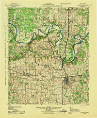
1943 · Gainesville
USGS Topo · 1:125,000

1954 · Sherman
USGS Topo · 1:250,000
1957 · Ardmore
USGS Topo · 1:250,000

1958 · Sherman
USGS Topo · 1:250,000
1963 · Ardmore
USGS Topo · 1:250,000
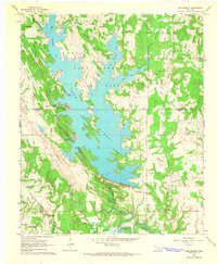
1964 · Lake Murray
USGS Topo · 1:24,000
1964 · Ardmore East
USGS Topo · 1:24,000