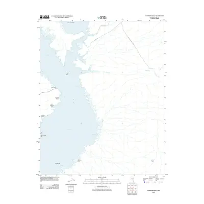
2012 Map of Overton Beach
USGS Topo · Published 2012About this map
The Virgin River Basin opens into the northern reaches of the Lake Mead National Rec Area, where the desert landscape meets the fluctuating shoreline of the reservoir. This 2012 survey captures the recreational character of the eastern shore, centered around the Overton Beach area. The map documents several named points of access and landmarks along the water, including Old Swim Beach, Ann Margaret Beach, and Engine Beach, reflecting decades of use by boaters and campers. Of particular note to local historians is Saint Thomas Salt near Salt Point, a reference to the submerged settlement of St. Thomas located nearby. The interior terrain is defined by dry washes such as Mud Wash and Gold Butte Wash, which cut through the limestone and silt towards the basin floor at The Meadows.
Find a feature on this map
24 named features on this map. Tap any name to fly to it.
Don’t see what you’re looking for? This feature index may not catch every label — zoom into the map to look around manually.
Map Details
Editions of this 2012 Overton Beach Map
This is the sole edition of this map. No revisions or reprints were ever made.
Other maps of this area
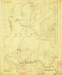
1886 · Saint Thomas
USGS Topo · 1:250,000
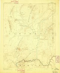
1893 · Saint Thomas
USGS Topo · 1:250,000
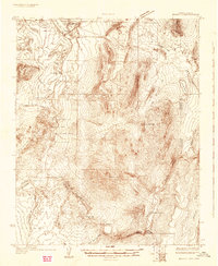
1926 · Bonelli
USGS Topo · 1:96,000
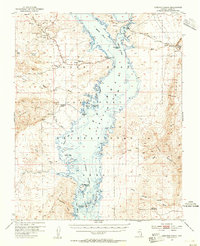
1953 · Overton Beach
USGS Topo · 1:62,500
1953 · Gold Butte
USGS Topo · 1:62,500
1954 · Las Vegas
USGS Topo · 1:250,000
1957 · Las Vegas
USGS Topo · 1:250,000
1958 · Virgin Peak
USGS Topo · 1:62,500
1958 · Overton
USGS Topo · 1:62,500
1959 · Las Vegas
USGS Topo · 1:250,000