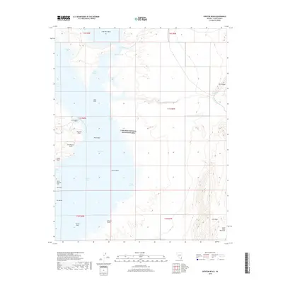
2018 Map of Overton Beach
USGS Topo · Published 2018About this map
The Virgin River Basin and Virgin Basin dominate this portion of the Lake Mead National Recreation Area, where the rising and receding waters of Lake Mead have shaped a landscape of shifting shorelines and named coves. Along the western edge, the settlement of Overton Beach serves as a primary reference point near a series of recreation sites including Old Swim Beach, Ann Margaret Beach, and Engine Beach. To the north, Lost City Cove hints at the region's deep archaeological significance, while the geography of The Narrows and Bark Bay illustrates the complex hydrology of the Overton Arm.
Find a feature on this map
36 named features on this map. Tap any name to fly to it.
Don’t see what you’re looking for? This feature index may not catch every label — zoom into the map to look around manually.
Map Details
Editions of this 2018 Overton Beach Map
This is the sole edition of this map. No revisions or reprints were ever made.
Other maps of this area
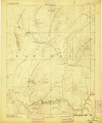
1886 · Saint Thomas
USGS Topo · 1:250,000
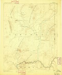
1893 · Saint Thomas
USGS Topo · 1:250,000
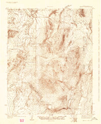
1926 · Bonelli
USGS Topo · 1:96,000
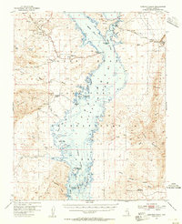
1953 · Overton Beach
USGS Topo · 1:62,500
1953 · Gold Butte
USGS Topo · 1:62,500
1954 · Las Vegas
USGS Topo · 1:250,000
1957 · Las Vegas
USGS Topo · 1:250,000
1958 · Virgin Peak
USGS Topo · 1:62,500
1958 · Overton
USGS Topo · 1:62,500
1959 · Las Vegas
USGS Topo · 1:250,000