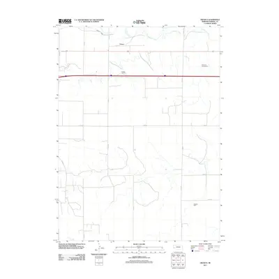
2011 Map of Owasco
USGS Topo · Published 2011About this map
Owasco sits in the high plains of Kimball County, Nebraska, near the upper reaches of the Lodgepole Creek valley. This 2011 survey illustrates a landscape dominated by large-scale agricultural infrastructure and an extensive network of county roads, such as Co RD 49 and Co RD 55. Water management is central to the area's utility, evidenced by the Bennett Canal and local landmarks like the Peterson Group Dam and Madden Dam. The interstate corridor cuts through the center of the sheet, marked by the Kimball Rest Area, which serves travelers passing through this corner of the Nebraska panhandle. The map provides a detailed view of the section lines and rural tracks that define the ranching and farming boundaries of the region at the start of the 21st century.
Find a feature on this map
15 named features on this map. Tap any name to fly to it.
Don’t see what you’re looking for? This feature index may not catch every label — zoom into the map to look around manually.
Map Details
Editions of this 2011 Owasco Map
This is the sole edition of this map. No revisions or reprints were ever made.
Other maps of this area

1954 · Scottsbluff
USGS Topo · 1:250,000

1958 · Scottsbluff
USGS Topo · 1:250,000

1972 · Potter SW
USGS Topo · 1:24,000

1972 · Dix
USGS Topo · 1:24,000

1972 · Owasco
USGS Topo · 1:24,000

1972 · Kimball SE
USGS Topo · 1:24,000

1972 · Kimball SW
USGS Topo · 1:24,000

1972 · Kimball
USGS Topo · 1:24,000

1973 · Potter 2 SW
USGS Topo · 1:24,000

1973 · Kimball 1 SE
USGS Topo · 1:24,000