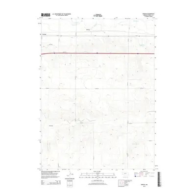
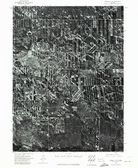
2014 Map of Owasco
USGS Topo · Published 2014About this map
Lodgepole Creek and the Bennett Canal define the northern edge of this Kimball County landscape, providing essential water infrastructure for the High Plains. The small settlement of Owasco sits along the historic route of Us-30, reflecting the region's long history as a transit corridor for transcontinental travelers and rail commerce. To the south, the terrain becomes increasingly complex, characterized by the dry drainage of Sand Draw and a network of county roads that service remote ranching operations. Significant water management is evident through features like Peterson Group Reservoir and Madden Reservoir, which are critical for local agriculture in this semi-arid environment. Family names preserved in the local geography, such as Gilliland Drive and Vowers Road, offer touchpoints for genealogists tracing the 21st-century footprint of long-standing Nebraska families.
Find a feature on this map
20 named features on this map. Tap any name to fly to it.
Don’t see what you’re looking for? This feature index may not catch every label — zoom into the map to look around manually.
Map Details
Editions of this 2014 Owasco Map
This is the sole edition of this map. No revisions or reprints were ever made.
Other maps of this area

1954 · Scottsbluff
USGS Topo · 1:250,000

1958 · Scottsbluff
USGS Topo · 1:250,000
1972 · Potter SW
USGS Topo · 1:24,000
1972 · Dix
USGS Topo · 1:24,000
1972 · Owasco
USGS Topo · 1:24,000
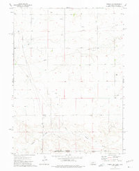
1972 · Kimball SE
USGS Topo · 1:24,000
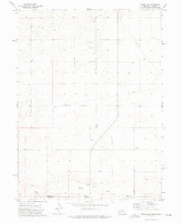
1972 · Kimball SW
USGS Topo · 1:24,000
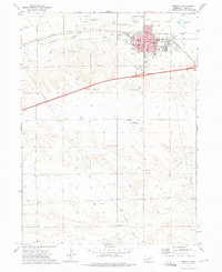
1972 · Kimball
USGS Topo · 1:24,000
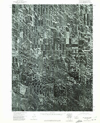
1973 · Potter 2 SW
USGS Topo · 1:24,000
1973 · Kimball 1 SE
USGS Topo · 1:24,000