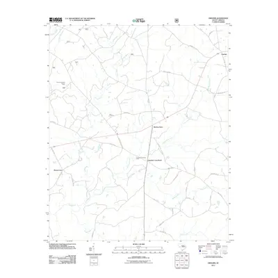
2011 Map of Owdoms
USGS Topo · Published 2011About this map
Meeting Street and Tompkins Cross Roads anchor the center of this rural Edgefield County landscape, where crossroads settlements and family landmarks define the community structure. The map captures a moment in the 21st century where historical land divisions persist alongside modern infrastructure. Notable local gathering points like the Tompkins Community House and Little Stevens Church sit near the headwaters of the drainage network, which includes Sleepy Creek and Little Stevens Creek.
Find a feature on this map
40 named features on this map. Tap any name to fly to it.
Don’t see what you’re looking for? This feature index may not catch every label — zoom into the map to look around manually.
Map Details
Editions of this 2011 Owdoms Map
This is the sole edition of this map. No revisions or reprints were ever made.
Other maps of this area

1892 · Mc Cormick
USGS Topo · 1:125,000

1892 · Abbeville
USGS Topo · 1:125,000

1908 · Kirksey
USGS Topo · 1:24,000

1912 · Mc Cormick
USGS Topo · 1:125,000

1941 · Spartanburg
USGS Topo · 1:250,000

1950 · Kirksey
USGS Topo · 1:24,000

1953 · Athens
USGS Topo · 1:250,000

1953 · Spartanburg
USGS Topo · 1:250,000

1954 · Augusta
USGS Topo · 1:250,000

1954 · Greenville
USGS Topo · 1:250,000