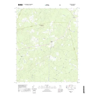
2020 Map of Owdoms
USGS Topo · Published 2020About this map
Sumter National Forest defines the northern reaches of this territory, where the borders of Greenwood, Saluda, and Edgefield Counties converge. The rural character of this landscape is anchored by the historic crossroads of Meeting Street, a settlement situated along the highway network that connects the upland woods with the agricultural tracts to the south. Local heritage is visible in landmarks like the Dorn Cem, while small communities such as Owdoms and Pleasant Lane are linked by a web of established routes like Long Cane Rd and Meeting Street Rd.
Find a feature on this map
39 named features on this map. Tap any name to fly to it.
Don’t see what you’re looking for? This feature index may not catch every label — zoom into the map to look around manually.
Map Details
Editions of this 2020 Owdoms Map
This is the sole edition of this map. No revisions or reprints were ever made.
Other maps of this area

1892 · Mc Cormick
USGS Topo · 1:125,000

1892 · Abbeville
USGS Topo · 1:125,000

1908 · Kirksey
USGS Topo · 1:24,000

1912 · Mc Cormick
USGS Topo · 1:125,000

1941 · Spartanburg
USGS Topo · 1:250,000

1950 · Kirksey
USGS Topo · 1:24,000

1953 · Athens
USGS Topo · 1:250,000

1953 · Spartanburg
USGS Topo · 1:250,000

1954 · Augusta
USGS Topo · 1:250,000

1954 · Greenville
USGS Topo · 1:250,000