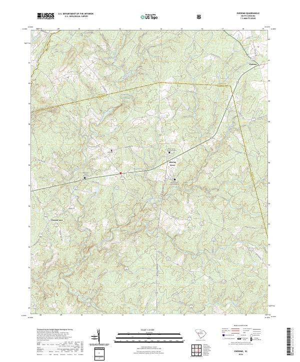
2024 Map of Owdoms
USGS Topo · Published 2024About this map
Meeting Street serves as a central landmark in this rural South Carolina landscape, positioned near the intersection of several historic corridors including Long Cane Rd. The region is defined by a dense network of watercourses, such as the winding Sleepy Creek and Little Stevens Creek, which flow through the wooded expanses of the Sumter National Forest. For those researching local history, the map preserves the locations of several burial grounds, including the Mckendree Church Graveyard and Willow Spring Church Graveyard. These sites, along with smaller settlements like Owdoms and Pleasant Lane, illustrate the long-standing community structure of the Edgefield and Saluda county borderlands. The road network, featuring names like McKendree Dr and Faulkner Mountain Rd, follows the rolling topography between the creek basins.
Find a feature on this map
46 named features on this map. Tap any name to fly to it.
Don’t see what you’re looking for? This feature index may not catch every label — zoom into the map to look around manually.
Map Details
Editions of this 2024 Owdoms Map
This is the sole edition of this map. No revisions or reprints were ever made.
Other maps of this area

1892 · Mc Cormick
USGS Topo · 1:125,000

1892 · Abbeville
USGS Topo · 1:125,000

1908 · Kirksey
USGS Topo · 1:24,000

1912 · Mc Cormick
USGS Topo · 1:125,000

1941 · Spartanburg
USGS Topo · 1:250,000

1950 · Kirksey
USGS Topo · 1:24,000

1953 · Athens
USGS Topo · 1:250,000

1953 · Spartanburg
USGS Topo · 1:250,000

1954 · Augusta
USGS Topo · 1:250,000

1954 · Greenville
USGS Topo · 1:250,000