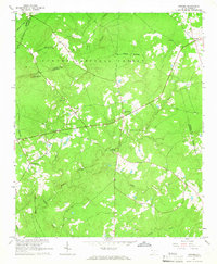
1964 Map of Owdoms
USGS Topo · Published 1965About this map
The Sumter National Forest dominates this mid-century view of the South Carolina backcountry, where the border of Saluda and Edgefield counties cuts through a landscape defined by creek drainage and rural community hubs. Local history is anchored by a network of country churches, including Spring Branch Ch, Pine Grove Ch, and Willow Springs Ch, which served the scattered farmsteads of Owdoms, Pleasant Lane, and Crafton.
Find a feature on this map
24 named features on this map. Tap any name to fly to it.
Don’t see what you’re looking for? This feature index may not catch every label — zoom into the map to look around manually.
Map Details
Editions of this 1964 Owdoms Map
2 editions found
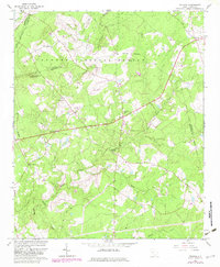
Other maps of this area

1892 · Mc Cormick
USGS Topo · 1:125,000

1892 · Abbeville
USGS Topo · 1:125,000

1908 · Kirksey
USGS Topo · 1:24,000

1912 · Mc Cormick
USGS Topo · 1:125,000

1941 · Spartanburg
USGS Topo · 1:250,000

1950 · Kirksey
USGS Topo · 1:24,000

1953 · Athens
USGS Topo · 1:250,000

1953 · Spartanburg
USGS Topo · 1:250,000

1954 · Augusta
USGS Topo · 1:250,000

1954 · Greenville
USGS Topo · 1:250,000