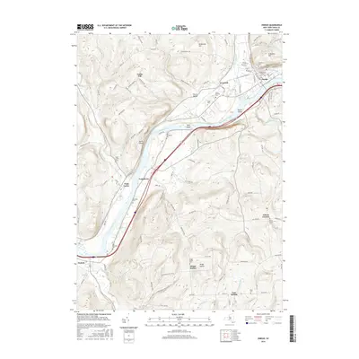
2016 Map of Owego
USGS Topo · Published 2016About this map
The Susquehanna River carves a deep valley through Tioga County, defining the settlement patterns and transportation corridors of the region. On the northern bank, the village of Owego serves as a primary hub, characterized by a dense grid of streets like Main St and McMaster St and several significant burial grounds including Evergreen Cem and Saint Josephs Cem. Further west along the river, the landscape transitions to smaller communities such as Tioga Center and Lounsberry, where the terrain begins to rise sharply into Catlin Hill and W Beecher Hill.
Find a feature on this map
114 named features on this map. Tap any name to fly to it.
Don’t see what you’re looking for? This feature index may not catch every label — zoom into the map to look around manually.
Map Details
Editions of this 2016 Owego Map
This is the sole edition of this map. No revisions or reprints were ever made.
Other maps of this area

1901 · Apalachin
USGS Topo · 1:62,500

1903 · Owego
USGS Topo · 1:62,500

1904 · Apalachin
USGS Topo · 1:62,500

1906 · Catatonk
USGS Topo · 1:125,000

1923 · Towanda
USGS Topo · 1:62,500

1926 · Towanda
USGS Topo · 1:62,500

1943 · Towanda
USGS Topo · 1:62,500

1943 · Le Raysville
USGS Topo · 1:62,500

1945 · Le Raysville
USGS Topo · 1:62,500

1950 · Elmira
USGS Topo · 1:250,000