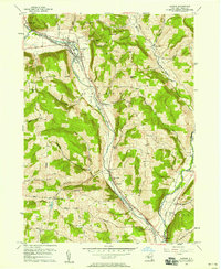
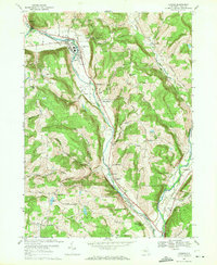
1969 Map of Owego
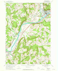
USGS Topo · Published 1971This historical map portrays the area of Owego in 1969, primarily covering Tioga. Featuring a scale of 1:24000, this map provides a highly detailed snapshot of the terrain, roads, buildings, counties, and historical landmarks in the Owego region at the time. Published in 1971, it is one of 2 known editions of this map due to revisions or reprints.
Find a feature on this map
78 named features on this map. Tap any name to fly to it.
Don’t see what you’re looking for? This feature index may not catch every label — zoom into the map to look around manually.
Map Details
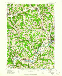
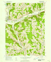
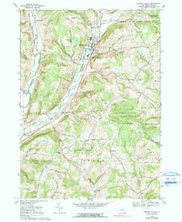
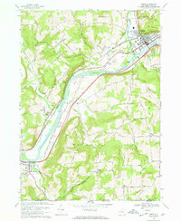
Editions of this 1969 Owego Map
2 editions found
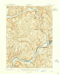
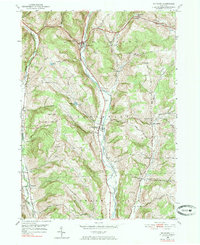
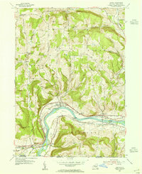
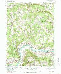
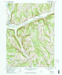
Historical Maps of Owego Through Time
13 maps found
1903 Owego
Tioga County, NY

1906 Catatonk
Tioga County, NY
1950 Richford
Tioga County, NY
1953 Barton
Tioga County, NY
1956 Candor
Tioga County, NY

1956 Newark Valley
Tioga County, NY
1956 Owego
Tioga County, NY
1956 Spencer
Tioga County, NY
1969 Barton
Tioga County, NY
1969 Candor
Tioga County, NY
1969 Newark Valley
Tioga County, NY
1969 Owego
Tioga County, NY
1969 Spencer
Tioga County, NY