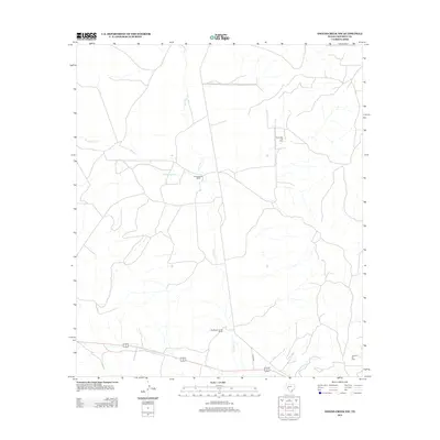
2012 Map of Owens Creek NW
USGS Topo · Published 2012About this map
D K McMullan Ranch and the F McMullan Junior Ranch anchor this West Texas landscape, illustrating the enduring presence of family-held ranching operations in Crockett County. The terrain is defined by the ephemeral drainage of Live Oak Cr and Twelvemile Cr, which shape the local topography. This 2012 survey documents a rural environment where traditional agricultural land use exists alongside energy extraction. The northern and southern reaches of the map are marked by industrial activity at the Escondido Oil Field and the Shannon Oil Field, respectively. Transportation is limited to a sparse network of local routes, including Co RD 208, which provides access through the expansive ranch lands. The map captures a moment in the early 21st century when the region's economy remained firmly rooted in both the soil and the sub-surface mineral wealth.
Find a feature on this map
7 named features on this map. Tap any name to fly to it.
Don’t see what you’re looking for? This feature index may not catch every label — zoom into the map to look around manually.
Map Details
Editions of this 2012 Owens Creek NW Map
This is the sole edition of this map. No revisions or reprints were ever made.
Other maps of this area
1928 · Rankin
USGS Topo · 1:125,000

1929 · Sheffield
USGS Topo · 1:125,000

1954 · Sonora
USGS Topo · 1:250,000

1954 · San Angelo
USGS Topo · 1:250,000

1958 · Sonora
USGS Topo · 1:250,000
1958 · San Angelo
USGS Topo · 1:250,000
1965 · San Angelo
USGS Topo · 1:250,000
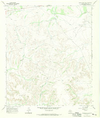
1967 · Owens Creek SE
USGS Topo · 1:24,000
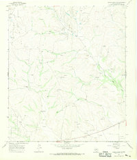
1967 · Owens Creek NE
USGS Topo · 1:24,000
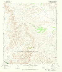
1967 · Twelvemile Camp
USGS Topo · 1:24,000