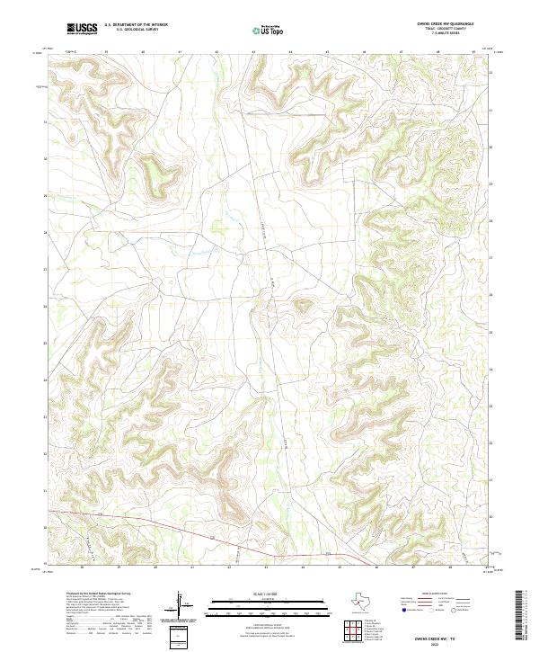
2022 Map of Owens Creek NW
USGS Topo · Published 2022About this map
Live Oak Cr and Twelvemile Cr converge in this corner of Crockett County, shaping a landscape defined by seasonal watercourses and deep drainage patterns. The map highlights a rural infrastructure of local ranch roads, including Crockett Co 308 and Co Rd 208, which navigate the elevation changes between the creek beds and the high plateaus. To the southwest, Knute Draw carves through the terrain, illustrating the significant erosion that characterizes the Edwards Plateau region. This 2022 survey documents a remote ranching landscape where development is sparse, primarily confined to the arterial Deer Canyon Rd and scattered local connectors like Bowline Rd. The absence of dense settlement emphasizes the large-scale landholdings and the persistence of traditional Texas cattle country in the 21st century.
Find a feature on this map
8 named features on this map. Tap any name to fly to it.
Don’t see what you’re looking for? This feature index may not catch every label — zoom into the map to look around manually.
Map Details
Editions of this 2022 Owens Creek NW Map
This is the sole edition of this map. No revisions or reprints were ever made.
Other maps of this area

1928 · Rankin
USGS Topo · 1:125,000

1929 · Sheffield
USGS Topo · 1:125,000

1954 · Sonora
USGS Topo · 1:250,000

1954 · San Angelo
USGS Topo · 1:250,000

1958 · Sonora
USGS Topo · 1:250,000

1958 · San Angelo
USGS Topo · 1:250,000

1965 · San Angelo
USGS Topo · 1:250,000

1967 · Owens Creek SE
USGS Topo · 1:24,000

1967 · Owens Creek NE
USGS Topo · 1:24,000

1967 · Twelvemile Camp
USGS Topo · 1:24,000