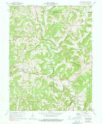
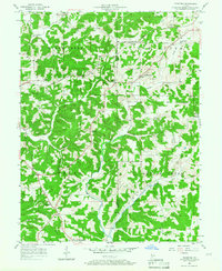
1975 Map of Owensburg
USGS Topo · Published 1978About this map
Owensburg sits at the heart of this southern Indiana landscape, where the winding waters of Indian Creek and its tributaries like Town Branch and Cole Branch dictate the local geography. The map reveals a transition between agricultural land and protected wilderness, with the Hoosier National Forest and the Naval Weapons Support Center occupying significant portions of the southern terrain. This mid-1970s survey captures a rural landscape still deeply connected to its early settlement roots, evidenced by numerous family and pioneer cemeteries scattered throughout the townships of Jackson, Center, and Perry.
Find a feature on this map
50 named features on this map. Tap any name to fly to it.
Don’t see what you’re looking for? This feature index may not catch every label — zoom into the map to look around manually.
Map Details
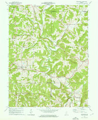
Editions of this 1975 Owensburg Map
2 editions found
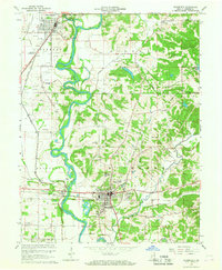
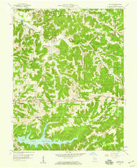
Other maps of this area
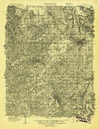
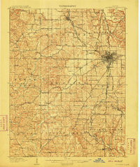
1908 · Bloomington
USGS Topo · 1:48,000
1908 · Bloomfield
USGS Topo · 1:62,500
1910 · Bloomington
USGS Topo · 1:62,500

1935 · Oolitic
USGS Topo · 1:48,000

1942 · Oolitic
USGS Topo · 1:62,500

1953 · Indianapolis
USGS Topo · 1:250,000

1956 · Indianapolis
USGS Topo · 1:250,000

1956 · Clear Creek
USGS Topo · 1:24,000
1956 · Stanford
USGS Topo · 1:24,000
1956 · Koleen
USGS Topo · 1:24,000