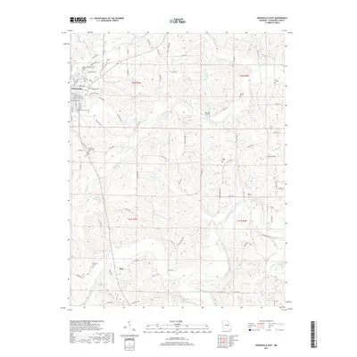
2017 Map of Owensville East
USGS Topo · Published 2017About this map
Owensville serves as the primary urban center in this Gasconade County landscape, where residential streets like Hillcrest Dr and E Jefferson Ave give way to a network of rural county roads. The terrain is defined by the winding course of the Bourbeuse River and its tributaries, including Dry Fork and Red Oak Creek. Local history and genealogy researchers will find numerous burial sites across the countryside, such as the Hinton Cemetery and Salem Cemetery, alongside several private water bodies like Homer Hensley Lake and Arno Kreter Lake. The inclusion of the Red Oak Airport and small settlements like Tea and Bem illustrates the persistent rural infrastructure of the region. The map captures the transition from the town's industrial edge to the managed woodlands and agricultural plots that dominate the township sections of T41N and T42N.
Find a feature on this map
96 named features on this map. Tap any name to fly to it.
Don’t see what you’re looking for? This feature index may not catch every label — zoom into the map to look around manually.
Map Details
Editions of this 2017 Owensville East Map
This is the sole edition of this map. No revisions or reprints were ever made.
Other maps of this area

1903 · Sullivan
USGS Topo · 1:125,000

1934 · Bland
USGS Topo · 1:62,500

1934 · Redbird
USGS Topo · 1:62,500

1935 · Gerald
USGS Topo · 1:48,000

1937 · Bland
USGS Topo · 1:62,500

1938 · Redbird
USGS Topo · 1:62,500

1941 · Gerald
USGS Topo · 1:62,500

1944 · Gerald
USGS Topo · 1:62,500

1948 · Argo
USGS Topo · 1:24,000

1948 · Oak Hill
USGS Topo · 1:24,000