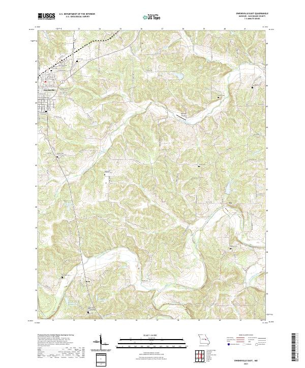
2021 Map of Owensville East
USGS Topo · Published 2021About this map
Owensville serves as the primary hub in this eastern Gasconade County landscape, where residential streets like Pear Ave and Park Drive give way to a sprawling rural network defined by the Bourbeuse River and its many tributaries. The area is exceptionally dense with burial sites of genealogical importance, including the Bohemian Catholic Cem and several church-affiliated grounds such as Saint Johns United Church of Christ Cem. Small settlements like Tea and Bem anchor the outlying areas, connected by historical routes like State Hwy V and the descriptively named Hog Trough Rd. Water management is evident through various impoundments like Homer Hensley Lake and Arno Kreter Lake, while the Red Oak Airport provides a modern navigational landmark amidst the winding paths of Red Oak Creek and Dry Fork.
Find a feature on this map
54 named features on this map. Tap any name to fly to it.
Don’t see what you’re looking for? This feature index may not catch every label — zoom into the map to look around manually.
Map Details
Editions of this 2021 Owensville East Map
This is the sole edition of this map. No revisions or reprints were ever made.
Other maps of this area

1903 · Sullivan
USGS Topo · 1:125,000

1934 · Bland
USGS Topo · 1:62,500

1934 · Redbird
USGS Topo · 1:62,500

1935 · Gerald
USGS Topo · 1:48,000

1937 · Bland
USGS Topo · 1:62,500

1938 · Redbird
USGS Topo · 1:62,500

1941 · Gerald
USGS Topo · 1:62,500

1944 · Gerald
USGS Topo · 1:62,500

1948 · Argo
USGS Topo · 1:24,000

1948 · Oak Hill
USGS Topo · 1:24,000