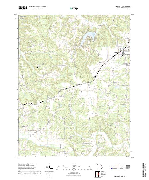
2021 Map of Owensville West
USGS Topo · Published 2021About this map
Owensville serves as the primary municipal hub in this portion of Gasconade County, showing a well-defined street grid including W Madison Ave and W Lincoln Ave. To the west, the landscape is defined by the dendritic drainage patterns of Clear Fork and Dry Fork, where numerous family and community burial grounds reflect generations of rural settlement. Notable sites like the Richardson Cem and the Old United Methodist Cem are found along the winding roads that connect Old Bland to the newer settlement of Bland.
Find a feature on this map
91 named features on this map. Tap any name to fly to it.
Don’t see what you’re looking for? This feature index may not catch every label — zoom into the map to look around manually.
Map Details
Editions of this 2021 Owensville West Map
This is the sole edition of this map. No revisions or reprints were ever made.
Other maps of this area

1903 · Sullivan
USGS Topo · 1:125,000

1934 · Bland
USGS Topo · 1:62,500

1934 · Redbird
USGS Topo · 1:62,500

1935 · Gerald
USGS Topo · 1:48,000

1937 · Bland
USGS Topo · 1:62,500

1938 · Redbird
USGS Topo · 1:62,500

1941 · Gerald
USGS Topo · 1:62,500

1944 · Gerald
USGS Topo · 1:62,500

1948 · Oak Hill
USGS Topo · 1:24,000

1949 · Saint Louis
USGS Topo · 1:250,000