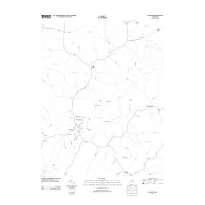
2013 Map of Owenton
USGS Topo · Published 2013About this map
Owenton serves as the central hub of this northern Kentucky landscape, where the town's street grid meets the winding ridge roads of Owen County. The terrain is defined by a dense network of ridges and hollows, including Long Ridge and the tucked-away No Head Hollow, which direct the flow of numerous small waterways like Stevens Cr and Buck Elk Cr.
Find a feature on this map
69 named features on this map. Tap any name to fly to it.
Don’t see what you’re looking for? This feature index may not catch every label — zoom into the map to look around manually.
Map Details
Editions of this 2013 Owenton Map
This is the sole edition of this map. No revisions or reprints were ever made.
Other maps of this area

1906 · Lockport
USGS Topo · 1:48,000

1908 · Lockport
USGS Topo · 1:62,500

1939 · Sadieville
USGS Topo · 1:62,500

1950 · New Liberty
USGS Topo · 1:24,000

1950 · Glencoe
USGS Topo · 1:24,000

1950 · Elliston
USGS Topo · 1:24,000

1950 · Owenton
USGS Topo · 1:24,000

1950 · Lawrenceville
USGS Topo · 1:24,000

1951 · Sanders
USGS Topo · 1:24,000

1953 · Monterey
USGS Topo · 1:24,000