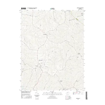
2016 Map of Owenton
USGS Topo · Published 2016About this map
The county seat of Owenton serves as the central hub for this Owen County landscape, where the street grid of Main ST and N Main branches out into a complex network of ridge roads and valley drainage. Settlement patterns here are dictated by the terrain, with communities like Long Ridge and Sweet Owen established along elevated ground, while numerous family and community cemeteries, such as the Owenton Independent Order of Odd Fellows Cem and Jones Cem, are scattered across the hillsides.
Find a feature on this map
64 named features on this map. Tap any name to fly to it.
Don’t see what you’re looking for? This feature index may not catch every label — zoom into the map to look around manually.
Map Details
Editions of this 2016 Owenton Map
This is the sole edition of this map. No revisions or reprints were ever made.
Other maps of this area

1906 · Lockport
USGS Topo · 1:48,000

1908 · Lockport
USGS Topo · 1:62,500

1939 · Sadieville
USGS Topo · 1:62,500

1950 · New Liberty
USGS Topo · 1:24,000

1950 · Glencoe
USGS Topo · 1:24,000

1950 · Elliston
USGS Topo · 1:24,000

1950 · Owenton
USGS Topo · 1:24,000

1950 · Lawrenceville
USGS Topo · 1:24,000

1951 · Sanders
USGS Topo · 1:24,000

1953 · Monterey
USGS Topo · 1:24,000